


Groundcover
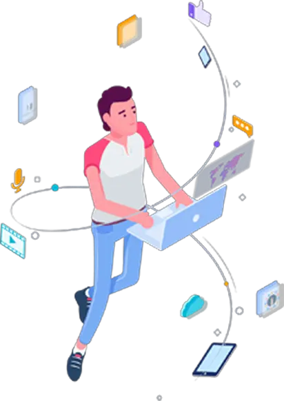
groundcover's video was engineered to make complex Kubernetes observability and kernel-level data flows visually tangible for SREs. Operating in the highly complex cloud-native space requires continuous, deep monitoring of distributed microservices. Relying on heavy, legacy instrumentation tools often leads to massive performance overhead, runaway cloud bills, and critical blind spots during system outages. Our video outlines how kernel-level tracing eliminates these tracking gaps while keeping compute costs highly predictable.
We anchored groundcover's Kubernetes data-flow demonstration in a highly structured, static isometric system that logically categorizes each layer of the modern infrastructure. By grouping abstract monitoring telemetry into clean, color-coded blocks of logs, traces, and metrics, our design team established a clear cognitive hierarchy. The visual layout pairs these stylized diagrams with high-fidelity UI representations of the actual query screens and live service maps. This approach decodes the abstract system architecture so that DevOps engineers immediately grasp the immediate deployment value and ease of configuration.
The motion design utilizes dynamic node expansions, rapid cursor paths, and fast-paced timeline scrubbing to reflect a highly responsive, real-time operating environment. Structuring this interactive product walkthrough with crisp transitions and a clean technical aesthetic dramatically reduces cognitive load and prevents viewer fatigue. By aligning the visual composition directly with the platform's native interface, the video ensures absolute continuity across every technical sequence. Advids engineered this clean pacing to build technical trust, empowering SREs to deploy the solution with absolute confidence.